


If you're thinking about developing land in New Zealand — whether that's subdividing a family block or delivering a multi-lot residential project — you'll probably hear the term "land development consultant" thrown around. But what do they actually do?
Here's a straightforward answer.
It's more than one job
Land development isn't a single task — it's a process that spans planning, surveying, and civil engineering, often all running at the same time. A good consultant brings those disciplines together so you're not trying to manage three separate firms and hoping they talk to each other.
At Resonant, that's exactly how we work. Our planning, surveying, and civil engineering teams collaborate directly on your project, which means fewer gaps, fewer delays, and a clearer picture for you at every stage.
The first question is always: is this viable?
Before any design or consent work starts, you need to know whether your project actually stacks up — what's achievable on the site, what infrastructure it'll need, and what the consent pathway looks like. Getting that clarity early helps you make good decisions before spending serious money.
That early-stage thinking is often where the most value gets created.
Resource consent is usually where projects get held up
Under the Resource Management Act (RMA), most significant changes to land use need consent from your local council. Getting that consent means preparing a solid application, understanding what the council will scrutinise, and managing the process through to approval.
Our planning team handles this from start to finish — including working with Palmerston North City Council, Horizons Regional Council, or whoever the relevant authority is for your project. Local relationships and local knowledge make a real difference to how smoothly this goes.
Surveying sets the foundation
You need accurate data about your land — its shape, boundaries, and physical features — before meaningful design can happen. Surveying provides that. It also has a legal role: in New Zealand, new certificates of title can't be issued without a licensed cadastral survey lodged with Land Information New Zealand (LINZ).
Getting survey work done early — even before consent is lodged — means the whole project is designed on solid ground rather than assumptions.
Civil engineering makes it buildable
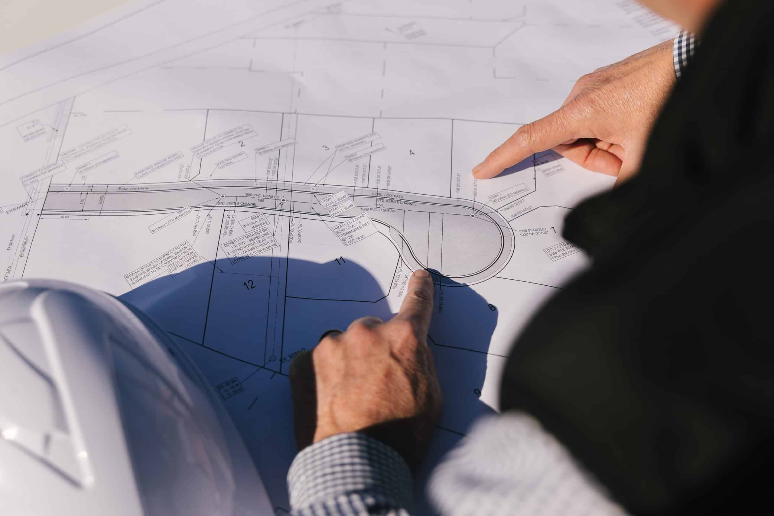
Once consent is secured, civil engineers design the infrastructure your development needs: roading and access, stormwater systems, wastewater connections, and earthworks. This has to meet the standards set by your local council, and it needs to work long-term — not just pass inspection.
Want to know what this looks like in practice?
Take a look at our recent projects to see the range of work we've delivered across the Manawatū, Rangitīkei, and Whanganui regions — from small lifestyle subdivisions to large-scale residential and industrial developments.
If you've got a site you're thinking about, get in touch. We're happy to have an honest conversation about what's involved.