General Surveying
Resonant’s experience in all areas of surveying and land development means that our assessment, measurement, design and project management is cohesive and consistent with your objectives. We have the expertise to manage the project end to end, come in at any stage, or consult to ensure your development is co-ordinated effectively and efficiently.
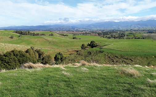
To understand land for investment, subdivision, development or evaluation, Resonant Surveyors are thorough and exact. We look beyond the measurement to deliver insight and ideas around efficiency and sustainability as well as considerations and potential pit-falls.
Our surveying services include:
- Cross Lease/Unit Title Surveys
- Legalisation Surveys
- Data Capture (Infrastructure)
- Precise Positioning Surveys
- Construction Set-out
- Building Location Surveys
- Land Information Research and Graphics
-

Land Information NZ
-
Orion NZ Ltd
-
QEII National Trust


Land Information NZ
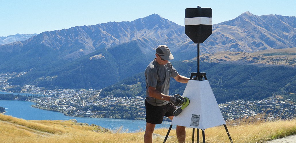
Resonant provide specialist precise positioning services. We primarily utilise GNSS (Global Navigation Satellite System) tools to upgrade and develop the geodetic (survey infrastructure) framework that spans the country and provides an accurate base for maps, marine charts, and property boundaries.
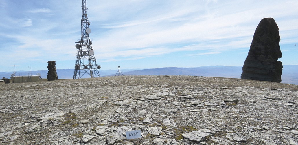
- Geodetic surveys - measuring the survey infrastructure used to accurately define the location and height of NZ’s land and sea
- Precise positioning control surveys using Global Navigation Satellite Systems (GNSS)
- Precise levelling surveys – high-precision sub-millimetre vertical level networks
- Trig station and cadastral mark maintenance


Orion NZ Ltd
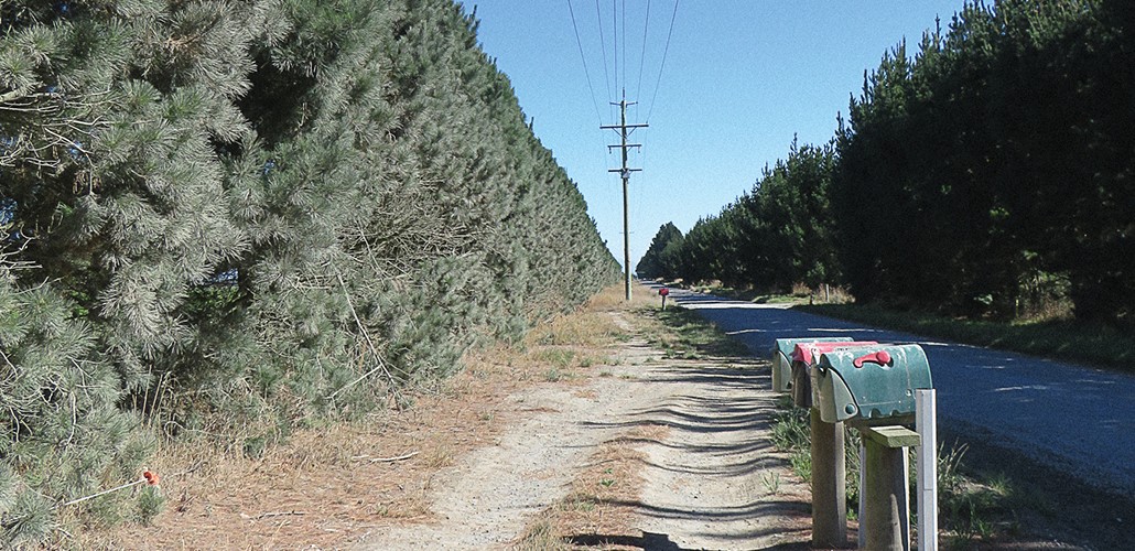
In support of Orion’s on-going maintenance, upgrade and enhancement of the electrical supply network for greater Christchurch, Resonant provide specialist survey data capture and surveying services.
- Infrastructure data capture (transmission towers; high-voltage power poles and lines; low-voltage networks)
- New electrical supply – pole set-out
- Power line obstruction surveys
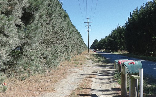
- Road boundary definitions for vegetation overgrowth
- Sub-station infrastructure surveys
- Electrical supply easement surveys
- Land information graphics
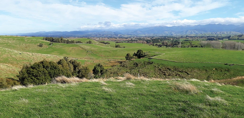
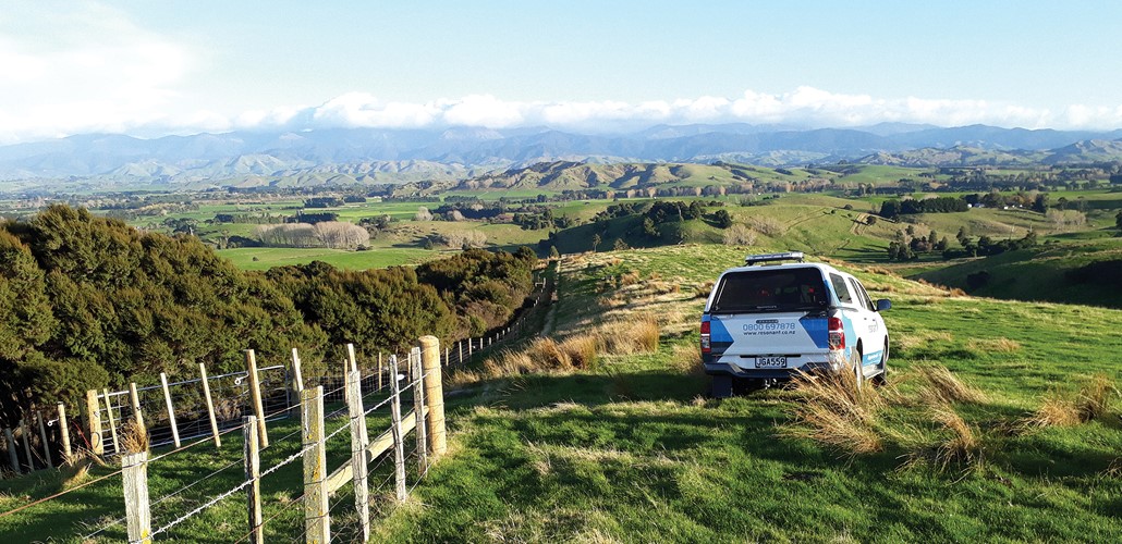
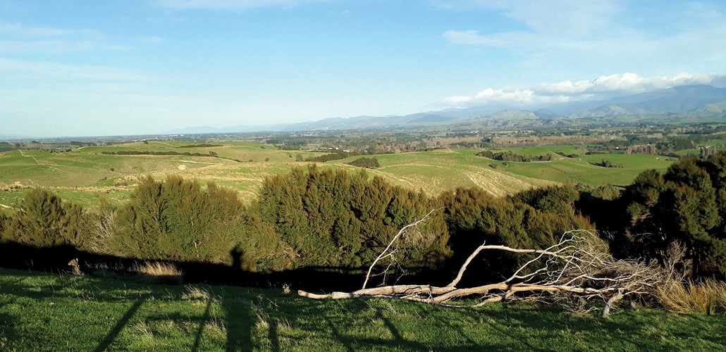
QEII National Trust
Resonant provide surveying services for the QEII National Trust to define areas of private land as Open Space Covenants that can be forever protected. Services incorporate a field survey and land transfer plan preparation.
- Open space land covenant surveys
- Bush, wetland, and special feature areas required to be protected in perpetuity
- Covenant definition surveys and land transfer covenant datasets and plans
- Plan graphics and reporting