Rural Surveying
Our experience with undertaking small and large scale rural surveys will add value – both to the project, and to the land as your major asset.
Resonant can undertake any task in this sector to meet your specific requirements, including;
- Rural Subdivisions – Unlock the value in your excess land.
- Easement Surveys – Define an existing or new service (water, power, or telecommunications supply, or drainage route) over your own or an adjoining property.
- Land Covenant Surveys – Define portions of your farm that you may want to protect in perpetuity, such as wetlands, bush areas, or other significant natural features.
- Surveys of Water Boundaries – Specialist survey knowledge is required in order support efficient and accurate accretion claims.
-
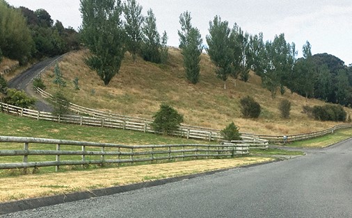
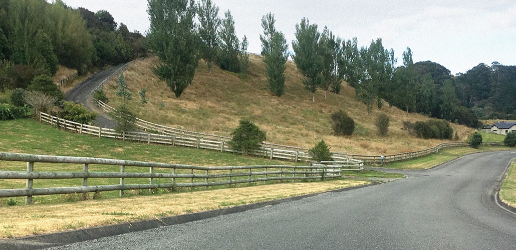
Kingsdale Park
-
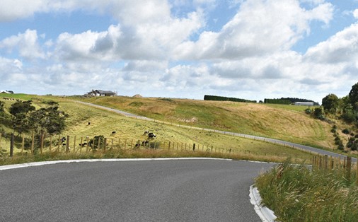
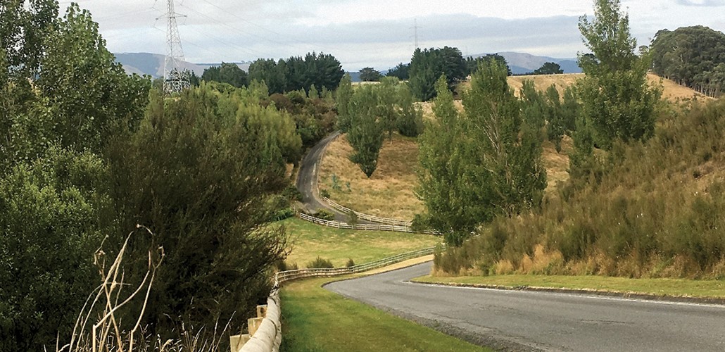
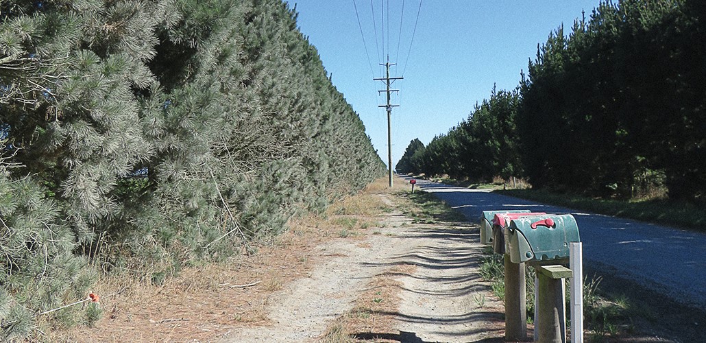
Mountain View, Mount Biggs, Rangitikei
-
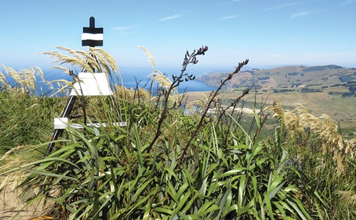
Land Information NZ
-
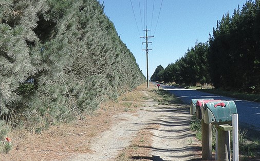
Orion NZ Ltd

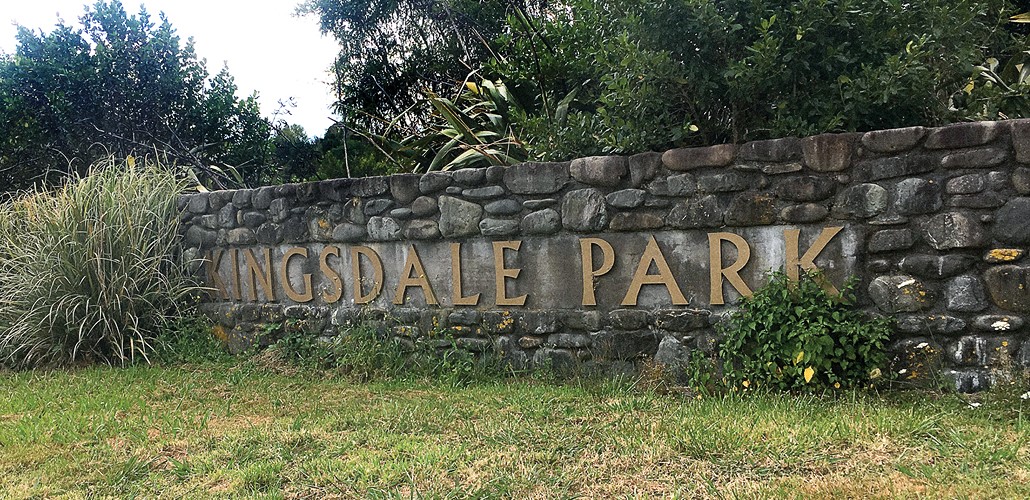
Kingsdale Park
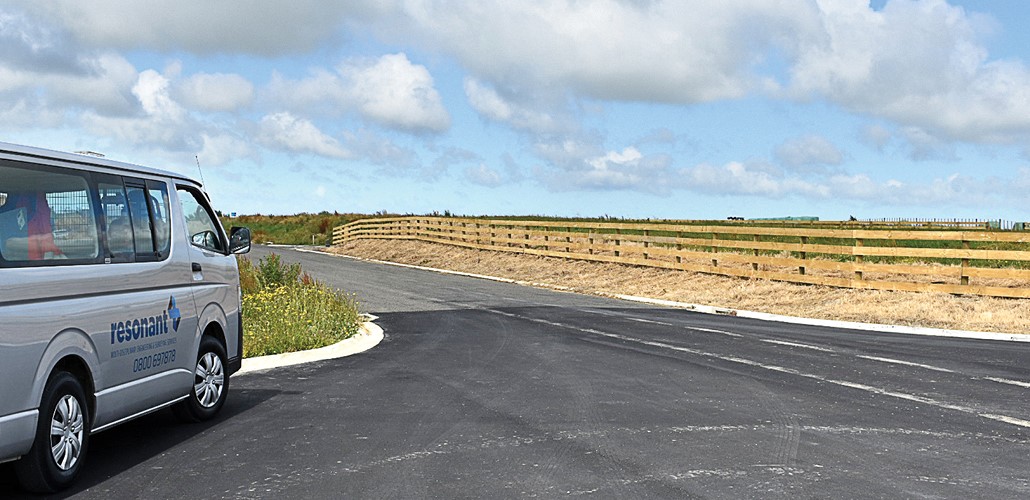
The Kingsdale Park project required Resonant to develop a rural 120 lot subdivision 15 minutes from Palmerston North. This will be completed in 6 stages on a topographically challenging site.
- 6 Stage Subdivision
- Consents
- Preparation of Titles & Survey Plans
- Land Information Lodgement
- Surveying and Pegging Boundaries
- Services Preparation
- Contract Observation
- Contract Administration

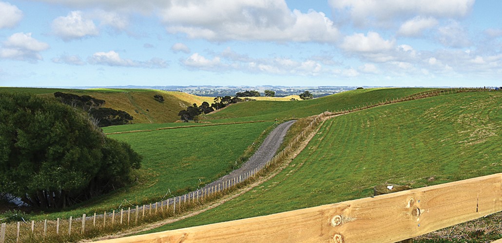
Mountain View, Mount Biggs, Rangitikei
Resonant was engaged to provide access off an existing road adjacent to a gully, opening onto development sites on rolling topography. The 31 lot rural subdivision is a 5-minute drive from Halcombe, Manawatu.
- 31 Lot Rural Rubdivision
- Engineering Design
- Stormwater Design
- Erosion and Sediment Control
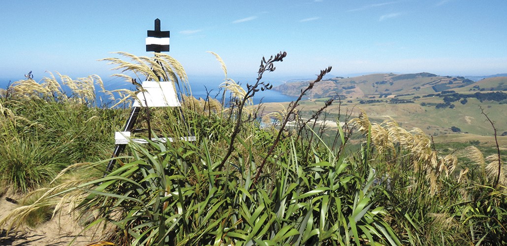
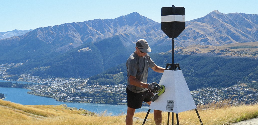
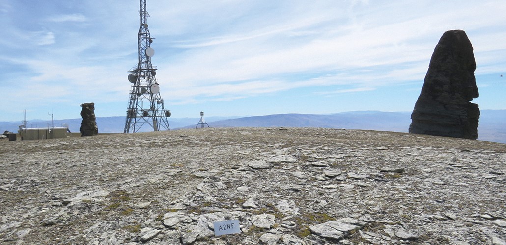
Land Information NZ
Resonant provide specialist precise positioning services. We primarily utilise GNSS (Global Navigation Satellite System) tools to upgrade and develop the geodetic (survey infrastructure) framework that spans the country and provides an accurate base for maps, marine charts, and property boundaries.
- Geodetic surveys - measuring the survey infrastructure used to accurately define the location and height of NZ’s land and sea
- Precise positioning control surveys using Global Navigation Satellite Systems (GNSS)
- Precise levelling surveys – high-precision sub-millimetre vertical level networks
- Trig station and cadastral mark maintenance
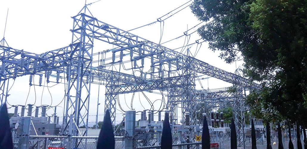

Orion NZ Ltd
In support of Orion’s on-going maintenance, upgrade and enhancement of the electrical supply network for greater Christchurch, Resonant provide specialist survey data capture and surveying services.
- Infrastructure data capture (transmission towers; high-voltage power poles and lines; low-voltage networks)
- New electrical supply – pole set-out
- Power line obstruction surveys
- Road boundary definitions for vegetation overgrowth
- Sub-station infrastructure surveys
- Electrical supply easement surveys
- Land information graphics